This was my sixth hike of the summer and I was especially looking forward to it. I had visited the Kaweah Basin twice before and was longing to return. I planned an ambitious three day hike which would take me over three cross country passes I had never crossed before, Kern-Kaweah Col, Lawson Pass, and Pyra-Queen Col (see maps). In my ignorance, I figured it would be no big deal. Upon reflection, I realize that I never would have been able to complete the hike unless I had been in top shape and experienced with cross country travel.
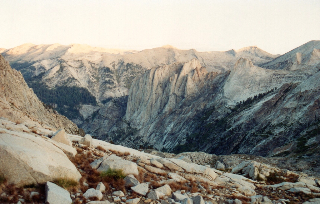
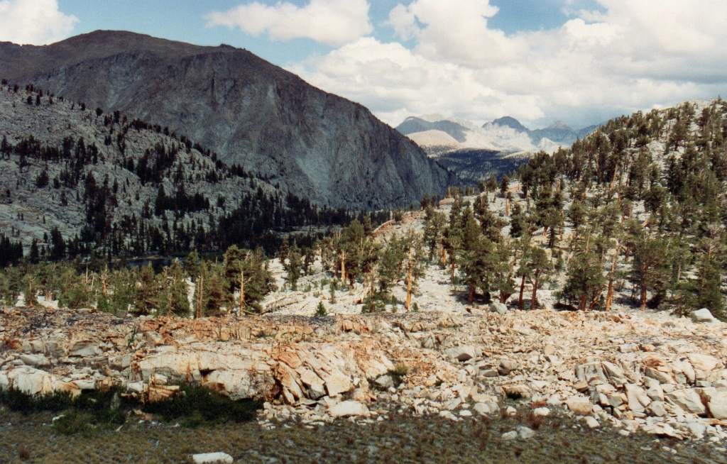
I was up at 4 am on the first day and got to the permit office at Lodgepole almost a half hour early. This allowed me to be on the High Sierra Trail at Crescent Meadow by 7:35. My goal for the day was Precipice Lake some 19 miles distant. The day was cloudy and cool and I made exceptional time. I passed through Bearpaw Meadow shortly after noon, finished eating at Hamilton Lake by 3, hiked the final few miles with views of Eagle Scout Peak,
Eagle Scout Peak, High Sierra Trail above Hamilton Lake
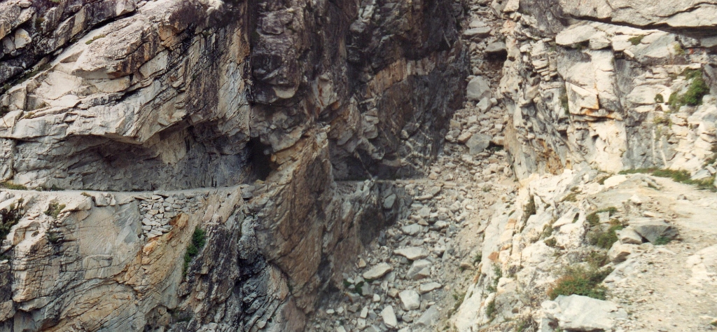
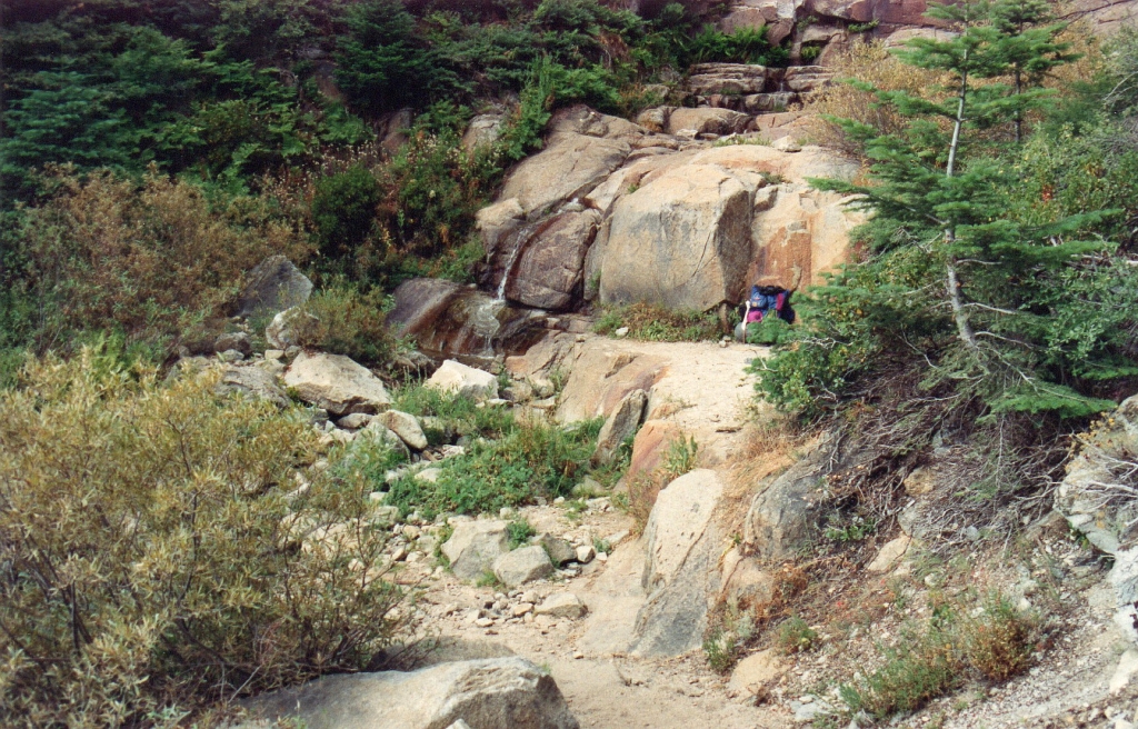
Bridge site between Hamilton Lake and Precipice Lake
and I arrived at my Precipice Lake camp a little after 5.
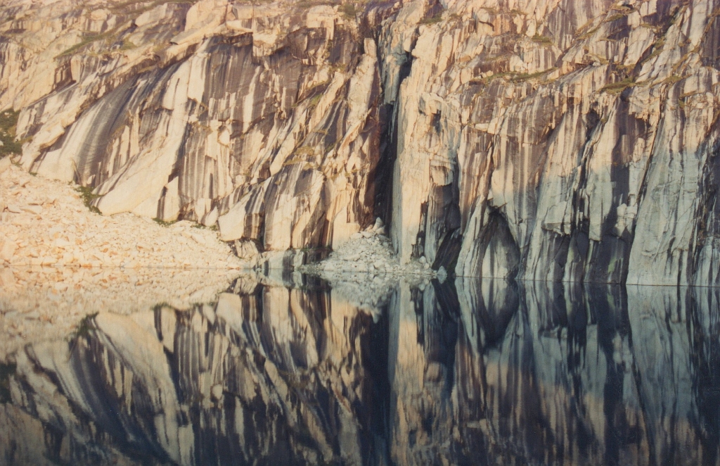
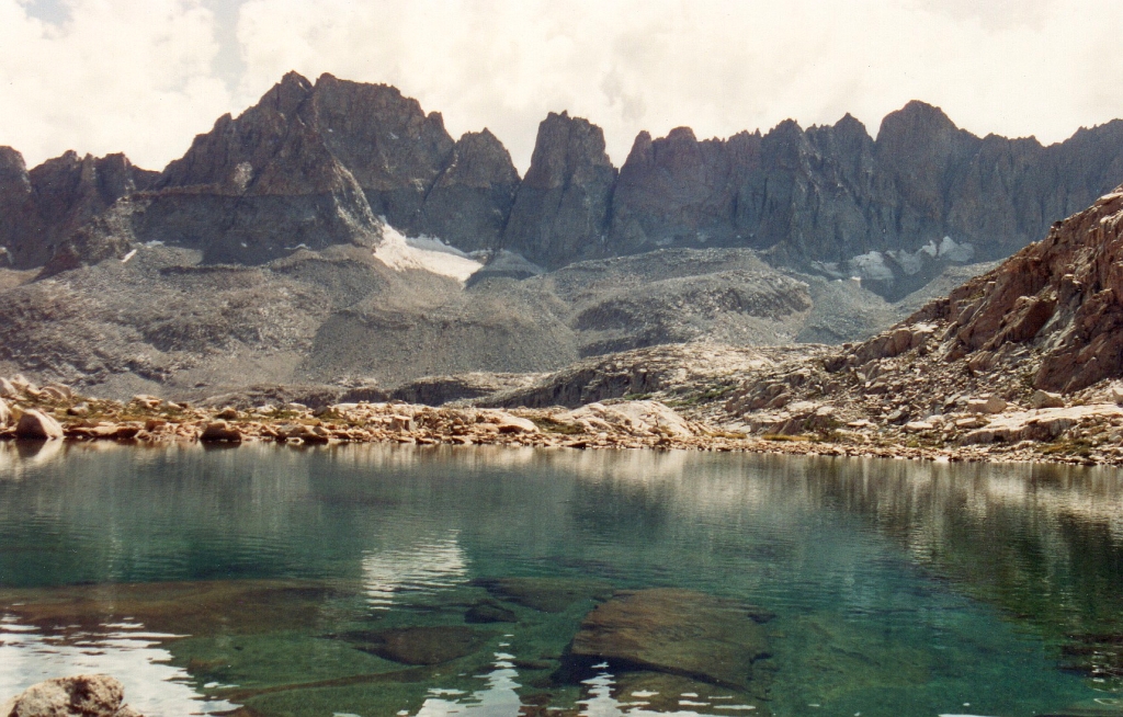
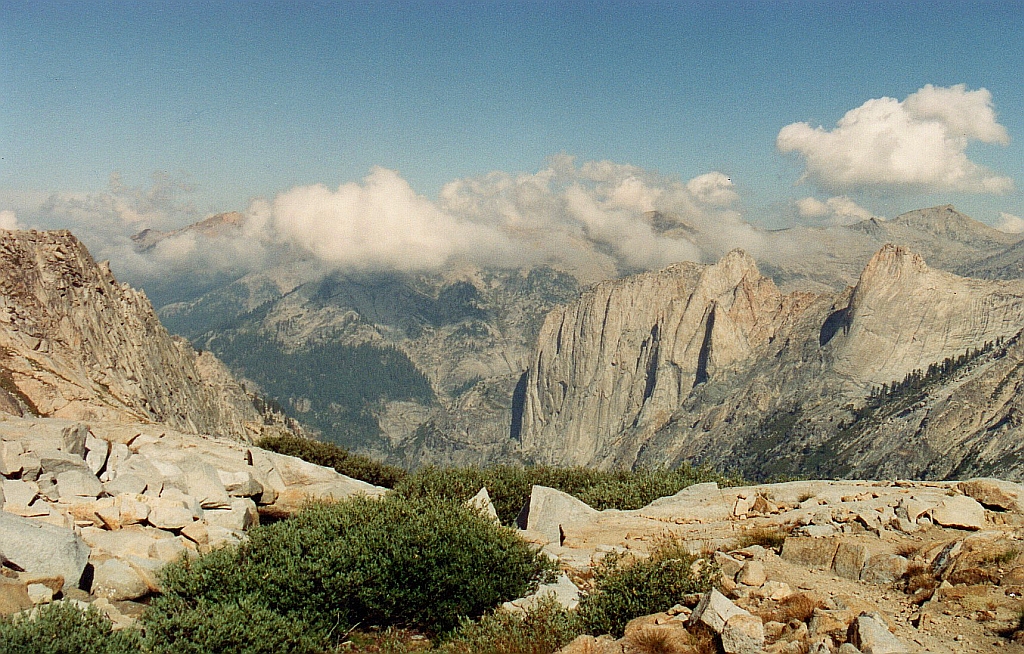
Precipice Lake - the Ancel Adams view.
A different view of Precipice Lake grabbed my attention.
Day 2
The next morning, I awoke early and was atop Kaweah Gap a little after 7.
Angel Wings from near Kaweah Gap
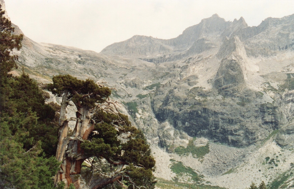
As I moved across Nine Lake Basin, the first of the three passes I would cross, Kern-Kaweah Col, came into view.
Kern-Kaweah Col (dark cleft) from the west
Rather than fighting more loose talus, I chose the class three chimney to the south. I was at the top of Kern-Kaweah Col at 9:25 and looking west toward Eagle Scout Peak above Kaweah Gap.
Eagle Scout Peak and Kaweah Gap
The barren Kern-Kaweah headwaters dominated the view to the east.
Kern-Kaweah headwaters from Kern-Kaweah Col
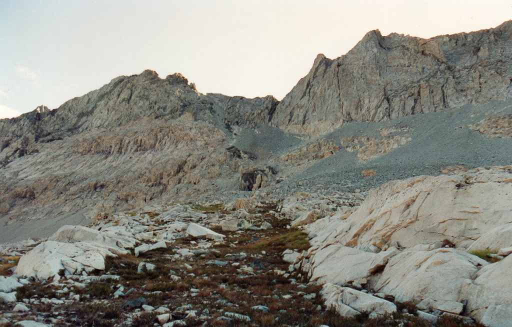
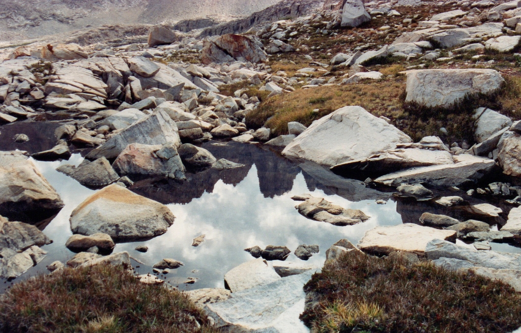
I passed a pale blue lake on the way to Lawson Pass, my second cross country pass of the day.
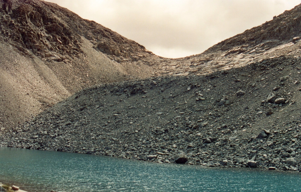
glacial lake at base of rock glacier beneath Lawson Pass
By 11:30, I was atop Lawson Pass where I had a fine view back into the headwaters of the Kern-Kaweah River. A light snow started to fall.
Kern-Kaweah River headwaters
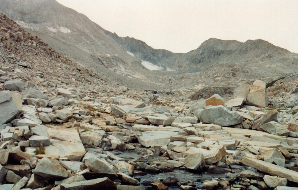
The view down Picket Creek showed a mostly barren canyon.
Picket Creek canyon
West of Lawson Pass was the glacier at the head of Picket Creek canyon.
Picket canyon glacier
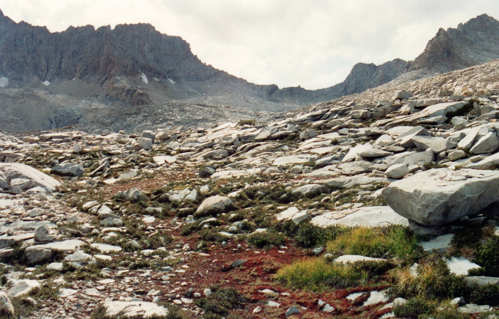
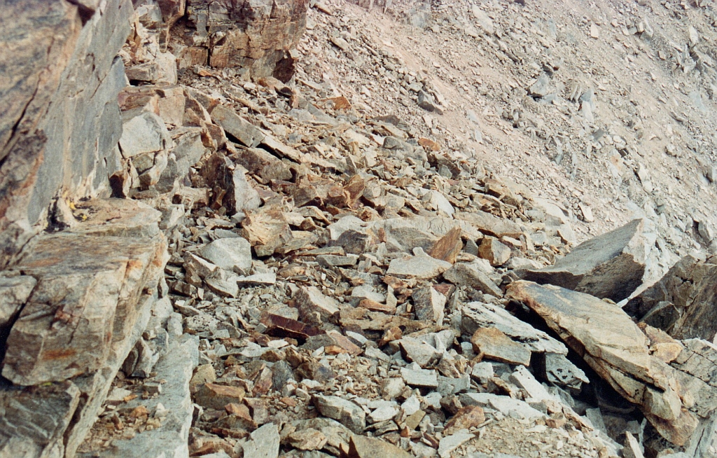
The upper part of the canyon was filled with slabs and large talus blocks. I fell on my back and bent the external metal pack frame. The frame probably protected me from injury. Snow continued to fall - strange stuff that looked like hail but could be crushed like styrofoam.
Granite slabs and talus of upper Picket Creek canyon
Low vegetation grew in the middle section of Picket Creek Canyon.
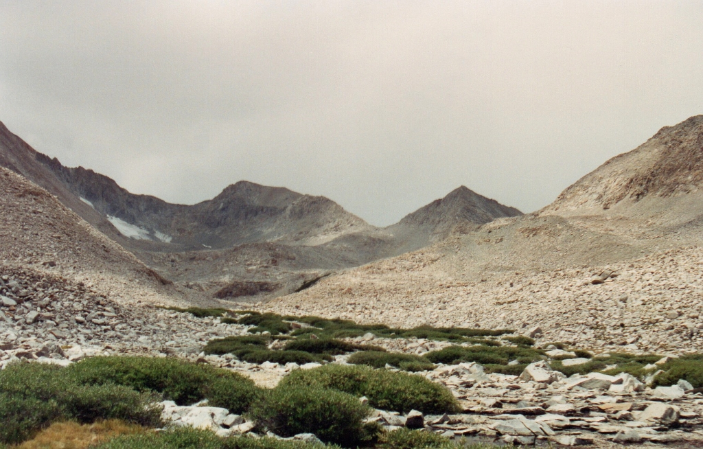
The glacier, Lawson Peak, and Lawson Pass from mid-Picket Creek Canyon
The view down Picket Creek included Mount Whitney.
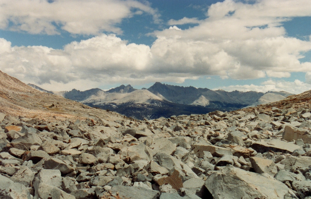
More large talus and the Sierra crest in the distance
On the way down Picket Creek I encountered some periglacial features.
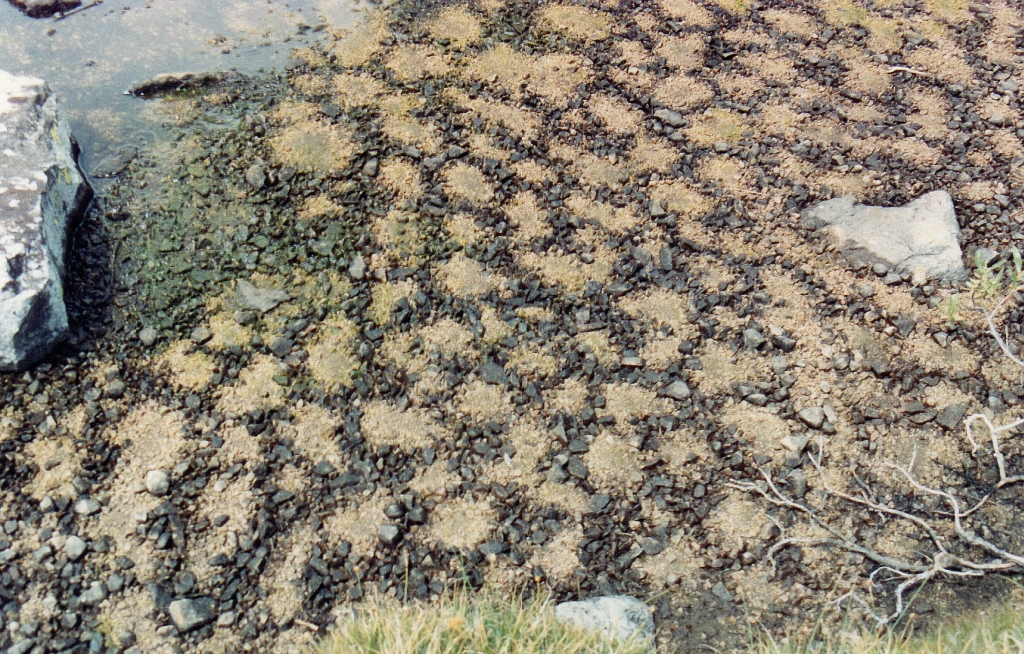
patterned ground on the Picket Creek flood plain
At 1:45, I arrived at Picket Creek Pass.
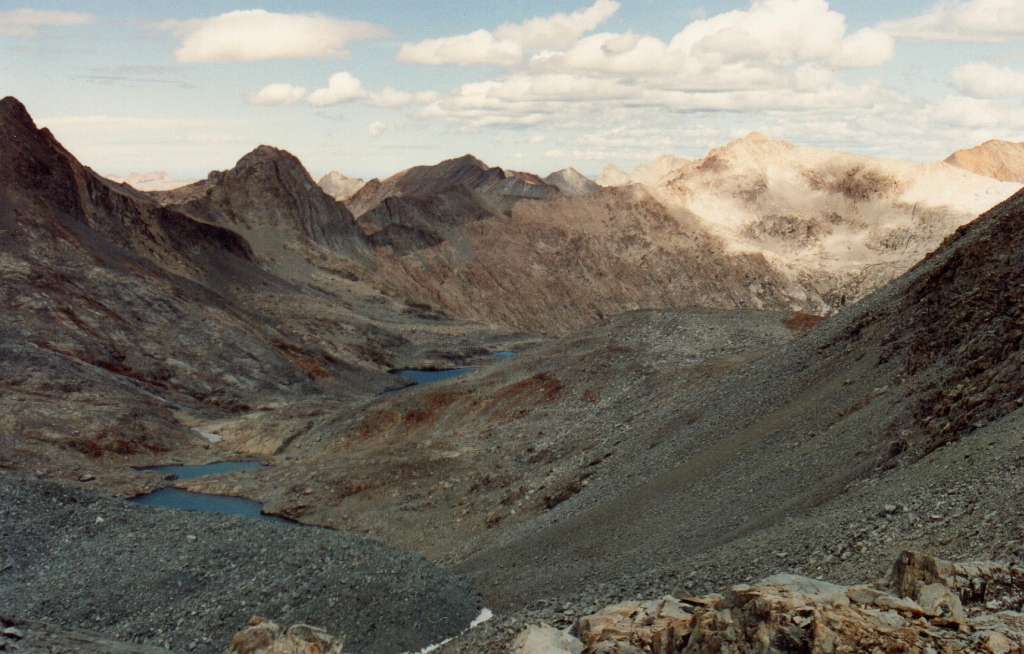
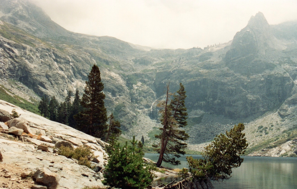
To the north were the lovely lakes of lower Picket Creek canyon
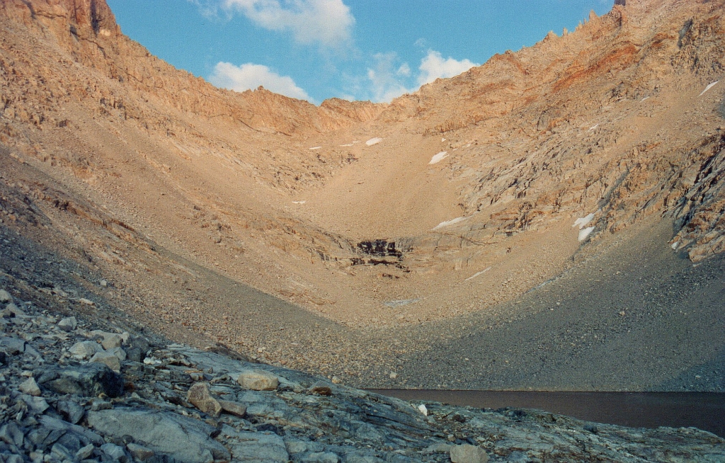
South of Picket Creek Pass were my first views of Kaweah Basin, including its lower lake, one of my favorites.
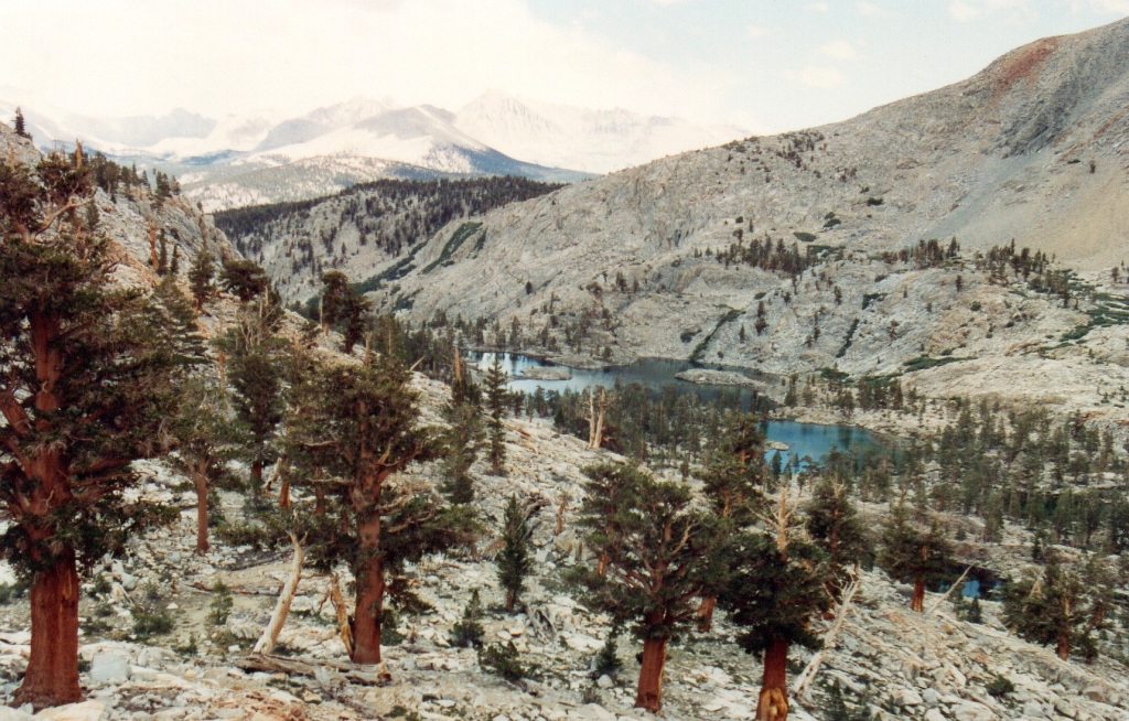
lowest lake in Kaweah Basin from Picket Creek Pass
Stormy weather continued as I looked back toward the Sierra crest.
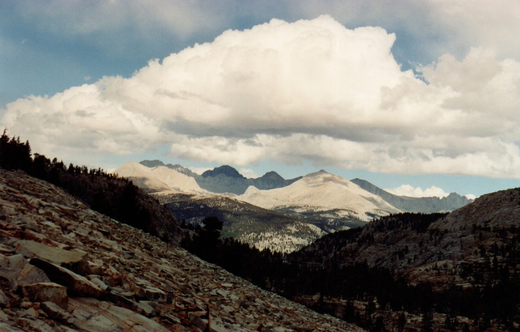
Sierra crest from near Picket Creek Pass
The Kaweah Peaks were spectacular in the stormy light.
Kaweah Peaks
Ponds and tarns provided spectacular foreground to the view of the ridge. Snow continued to fall off and on as I moved toward the third pass.
Kaweah Peaks
Kaweah Peaks reflected in tiny tarn
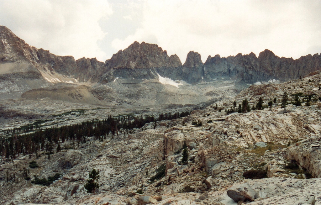
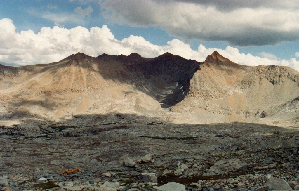
My third cross country pass of the day, Pyra-Queen Col, came into view.
Pyra-Queen Col
Mount Kaweah, highest peak on the ridge, had infamous Kaweah Pass to its left.
Kaweah Pass and Mount Kaweah
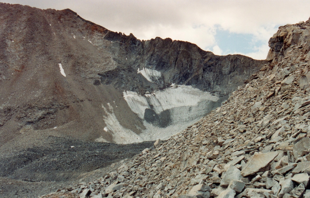
East of Mount Kaweah and near Red Spur was a rocky cirque, home to a rock glacier.
cirque with rock glacier below Mount 4,049
The last push up to the top of Pyra-Queen Col was not easy with a full pack.
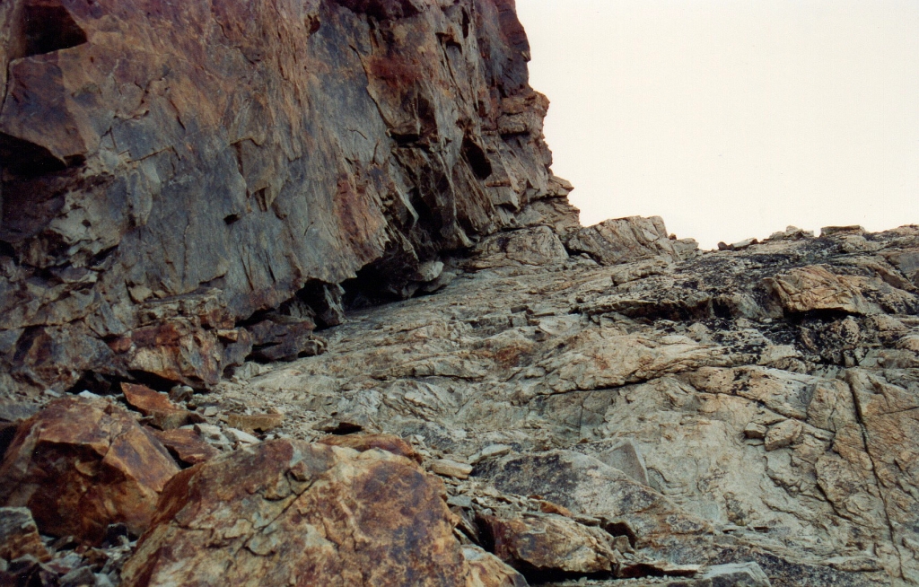
looking up the friction climb to top of Pyra-Queen Col
At 5:45, I was reading the only entry in the log on Pyra-Queen Col that had been made since I had visited on 23 August 1991.
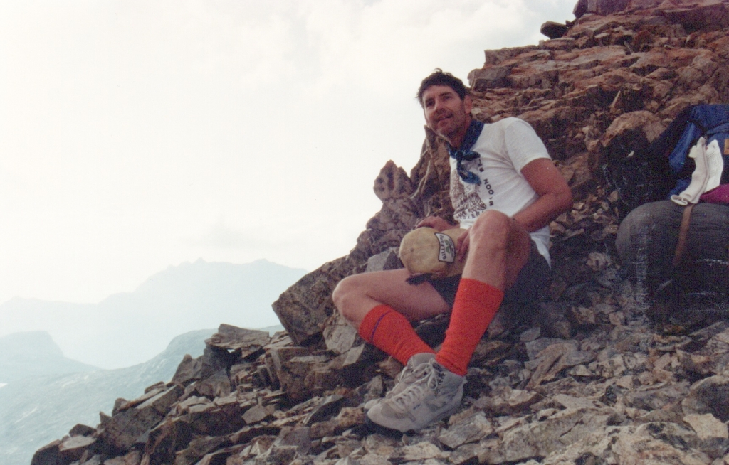
happy to be on top
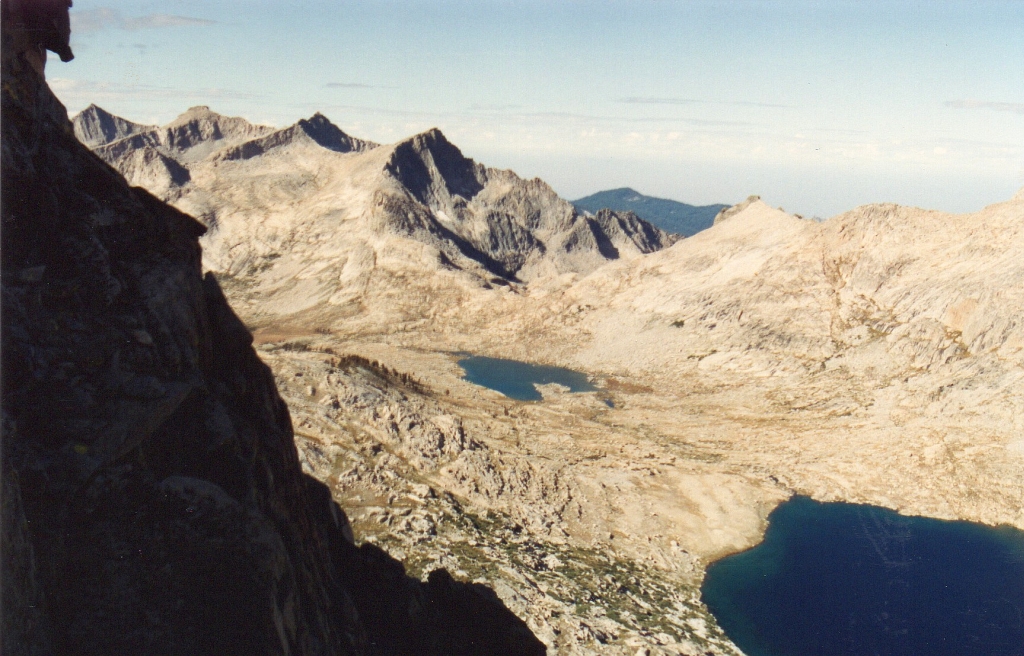
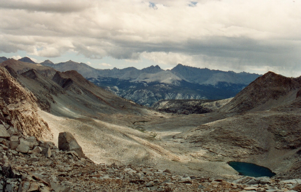
Nine Lakes Basin looked gloomy from Pyra-Queen Col.
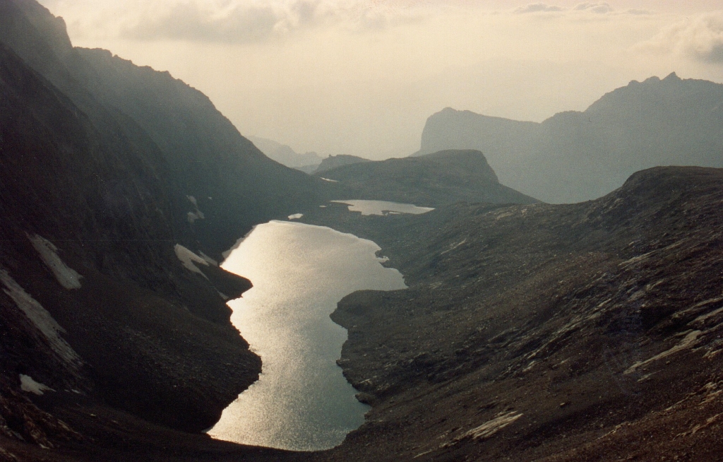
view to the west of the largest of the Nine Lakes, Lake 11,682, aka "Butch Lake"
A ramp led down to the endless talus below.
ramp leading down into Butch Lake basin
After a long slog down loose talus and around a few cliffs, I arrived at the lake and looked back at the col far above.
Pyra-Queen Col from Butch Lake
I stopped at around 7:30 where several other guys had set up camp. They invited me to join them on a bench above the lake.
Day 3
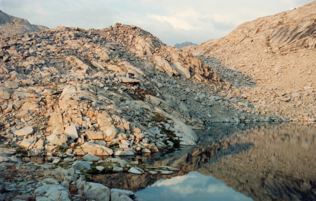
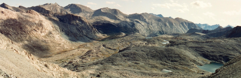
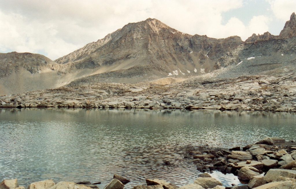
After a good night's sleep I was ready for an early start at 7 the next morning. It was so cold that as I was washing up from breakfast, the lake water froze on my cup and spoon. I reached the outlet of Butch Lake with a great view of another of the Nine Lakes below.
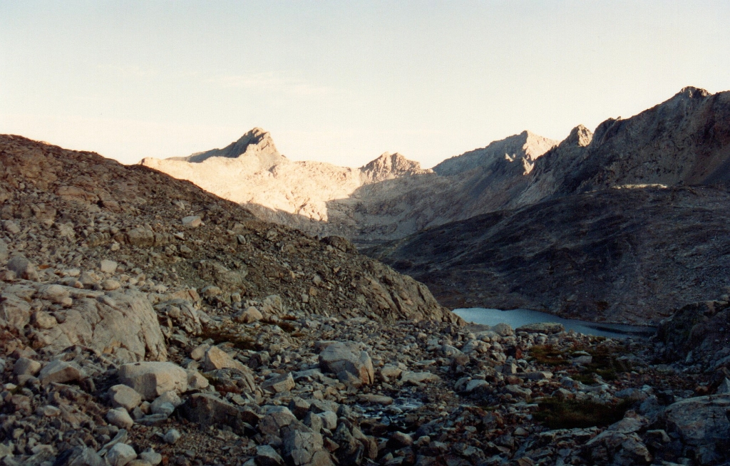
early Day 3 - lake north of Butch Lake
Frozen grass reminded me of how cold it had been earlier in the morning.
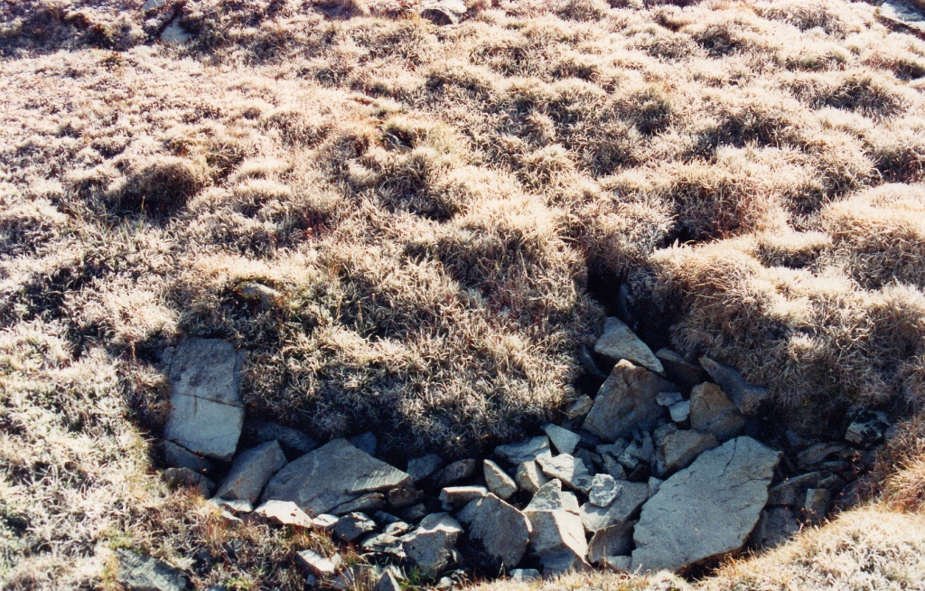
frosty grass on the way out
Back over Kaweah Gap by 9:25, overhead clouds were gone although they persisted beyond the Angel Wings.
Angel Wings with some blue sky
By the time I got down to Hamilton Lake. the clouds had returned. I bathed and ate a little lunch. It was 11:20, time to continue to the trailhead.
Hamilton Lake and clouds are back
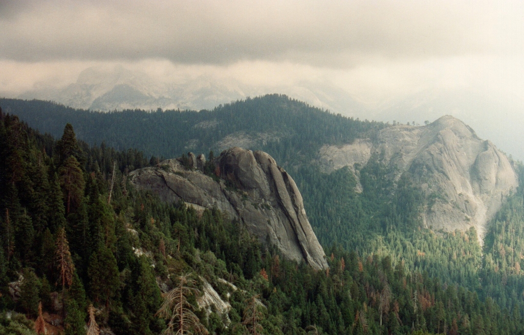
I passed through Bearpaw Meadow at 2:04 and made it to my favorite rest stop on the HST. It was 3:35.
favorite rest stop above Little Blue Dome
I turned around and took one last photo toward the Great Western Divide.
Little Blue Dome and Sugar Bowl Dome
Despite the clouds and the intermittent snow on Day 2, I think this is one of my favorite hikes of all time. It was a physical and mental challenge tackling three new cross-country passes in one day. Day 1 was all on trail but it was almost twenty miles. Day 3 was more than twenty miles, most of it on trail. The trip from Butch Lake to the trailhead was inspiring and a few years later I wrote a poem about that day's hike. For copies of the hand written trip log, trip log.
By 7 that evening I was heading home from the trailhead and mentally preparing for the new school year.